Why this road trip belongs on your list
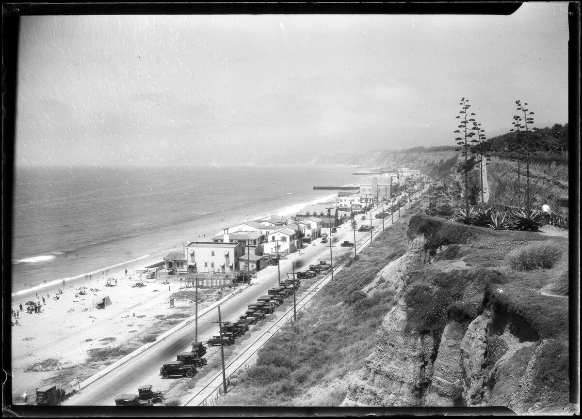
California’s Pacific Coast Highway—Highway 1 for locals—strings together sea cliffs, surfer towns, wine country foothills, and big-city beaches in one cinematic drive. It’s equal parts wild and polished: tide pools and taco shacks one hour, architectural icons and waterfront promenades the next. With thoughtful pacing, you’ll trade stress for scenery and catch the coast at its best angles.
This itinerary runs north to south, from San Francisco to San Diego, so you drive the ocean side of the highway and enjoy easier pullouts. Reverse it if you must; the stops still sing. Build in time for foggy mornings, golden-hour detours, and the occasional whale spout off the bow of the continent.
Top things to do and signature experiences
- Walk a headlands trail where wildflowers meet the Pacific and sea lions bark below.
- Cruise the 17-Mile Drive and watch waves hammer the granite at Point Lobos.
- Trace Big Sur’s cliff-hugging bends, pausing at famous bridges and hidden beaches.
- Tour a historic hilltop estate near San Simeon and comb Cambria’s Moonstone Beach boardwalk.
- Sip Central Coast pinot in laid-back tasting rooms, then roll to Santa Barbara’s Funk Zone for art and eats.
- Bike the beach paths of Santa Monica, watch surfers at Malibu and San Onofre, and end with fish tacos in San Diego’s coastal neighborhoods.
Best stretches and local areas along the route
San Francisco and the Gate
Start with coastal overlooks at Lands End and the Presidio, then cross the Golden Gate for a quick angle on the bridge before turning south. City bustle gives way to cypress groves in minutes.
Monterey Peninsula
From Santa Cruz’s vintage boardwalk to Capitola’s pastel village and Monterey’s Cannery Row, this cluster rewards slow travel: otters in the kelp, galleries in Carmel-by-the-Sea, and sea vistas at Point Lobos State Natural Reserve.
Big Sur
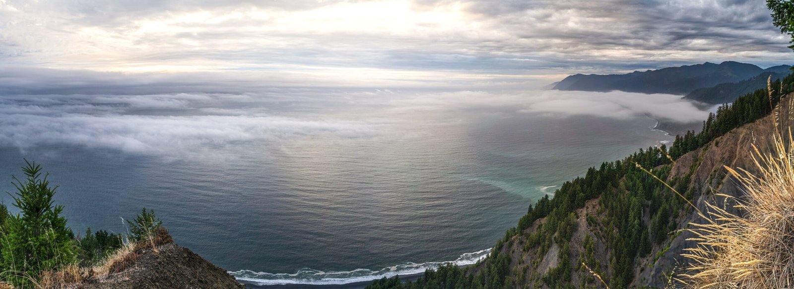
Between Carmel and San Simeon, Highway 1 feels like a tightrope over the ocean. Pull over at Bixby Bridge, Garrapata State Park, and Julia Pfeiffer Burns’ McWay Falls if conditions and parking allow. Services are limited; the scenery is not.
San Luis Obispo Coast
Wind down with boardwalks in Cambria and Morro Bay, Spanish-style charm in San Luis Obispo, and sandy arcs at Avila and Pismo beaches.
Santa Barbara to Malibu
Ranches and vineyards slide into coastal cities. Santa Barbara’s Mission-style beauty and waterfront path pair well with tasting rooms. Farther south, Malibu’s points host world-class waves and breezy seafood decks.
Santa Monica and the South Bay to San Diego
Beach paths stitch together Santa Monica, Venice, and the South Bay. Past Orange County’s coves and Dana Point’s harbor, the coast softens through San Clemente, Oceanside, and Carlsbad before the cliffs return at La Jolla. San Diego caps it with beaches, bays, and urban neighborhoods built for sunsets.
Where to eat and what to try
- Tacos by the sea: Seek fish tacos in Santa Barbara, San Clemente, and San Diego’s beach towns.
- Coastal classics: Chowder and Dungeness crab in Monterey; tri-tip sandwiches in San Luis Obispo County.
- Farm-to-coast: Look for seasonal menus in Carmel and Santa Barbara where local produce stars.
- Wineries and tasting rooms: Central Coast pinot noir and chardonnay flourish near San Luis Obispo and Santa Barbara; appoint a designated driver or book a rideshare to tasting rooms.
Reservations help at popular spots. Coastal towns often operate on relaxed timelines—build in a little buffer and enjoy the view if there’s a wait.
Where to stay along the PCH
Top Hotels to Consider
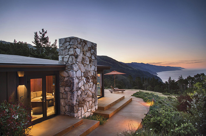
A mix of well-located resorts, hotels, and stays suited to different travel styles and priorities.


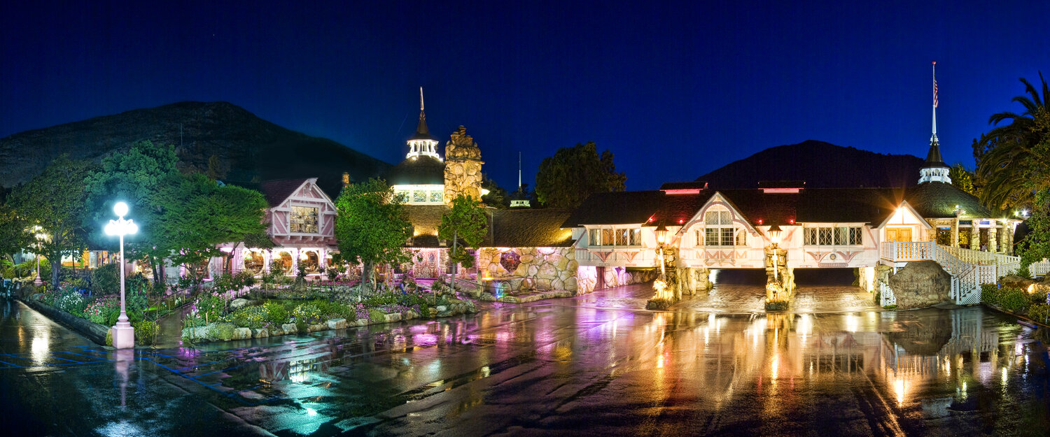
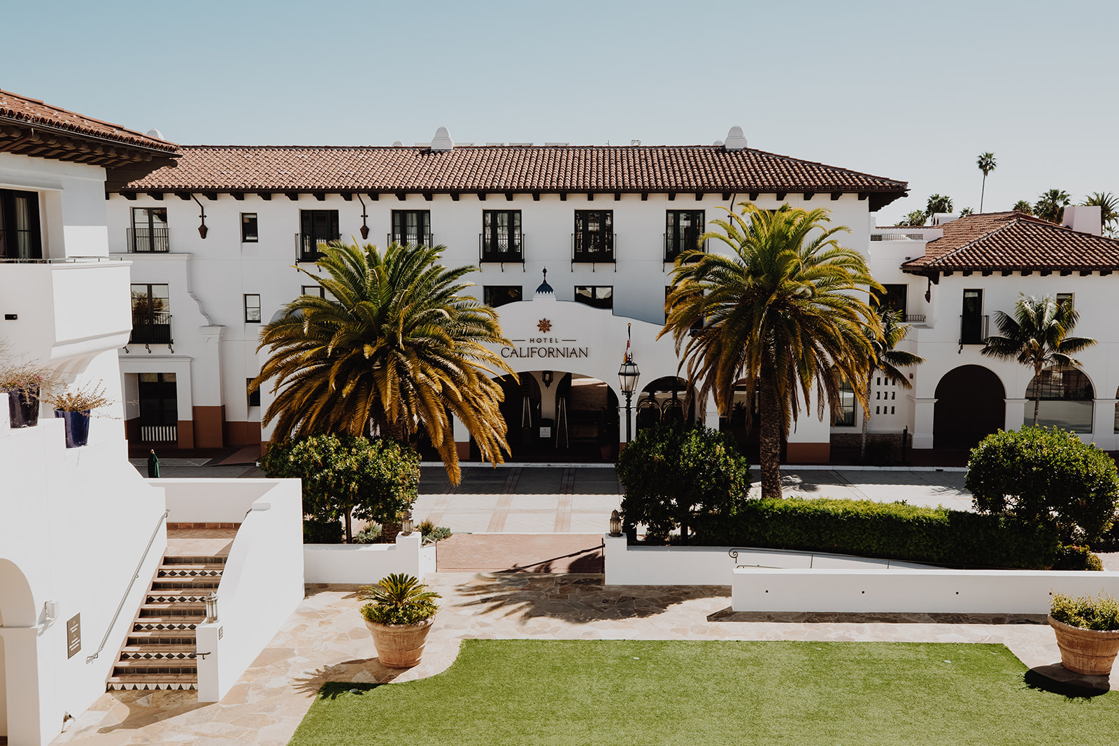
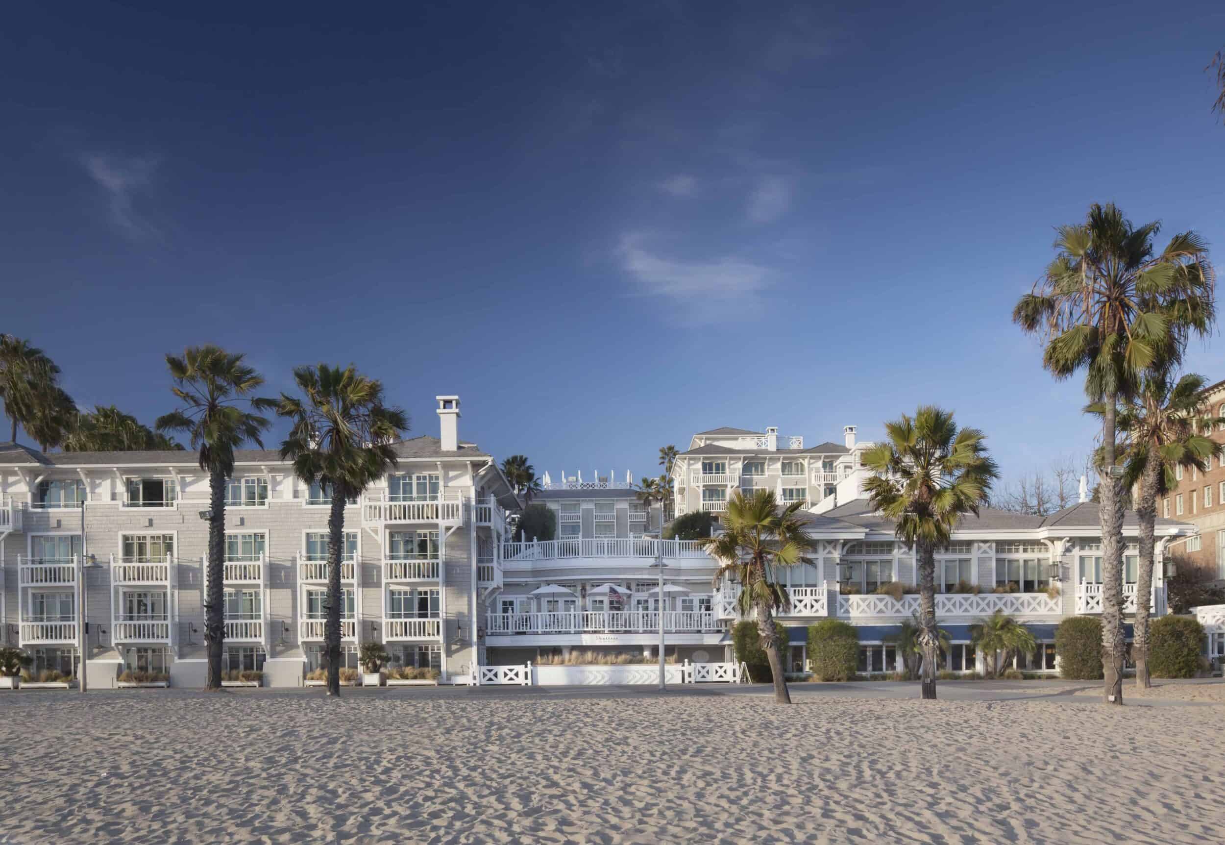
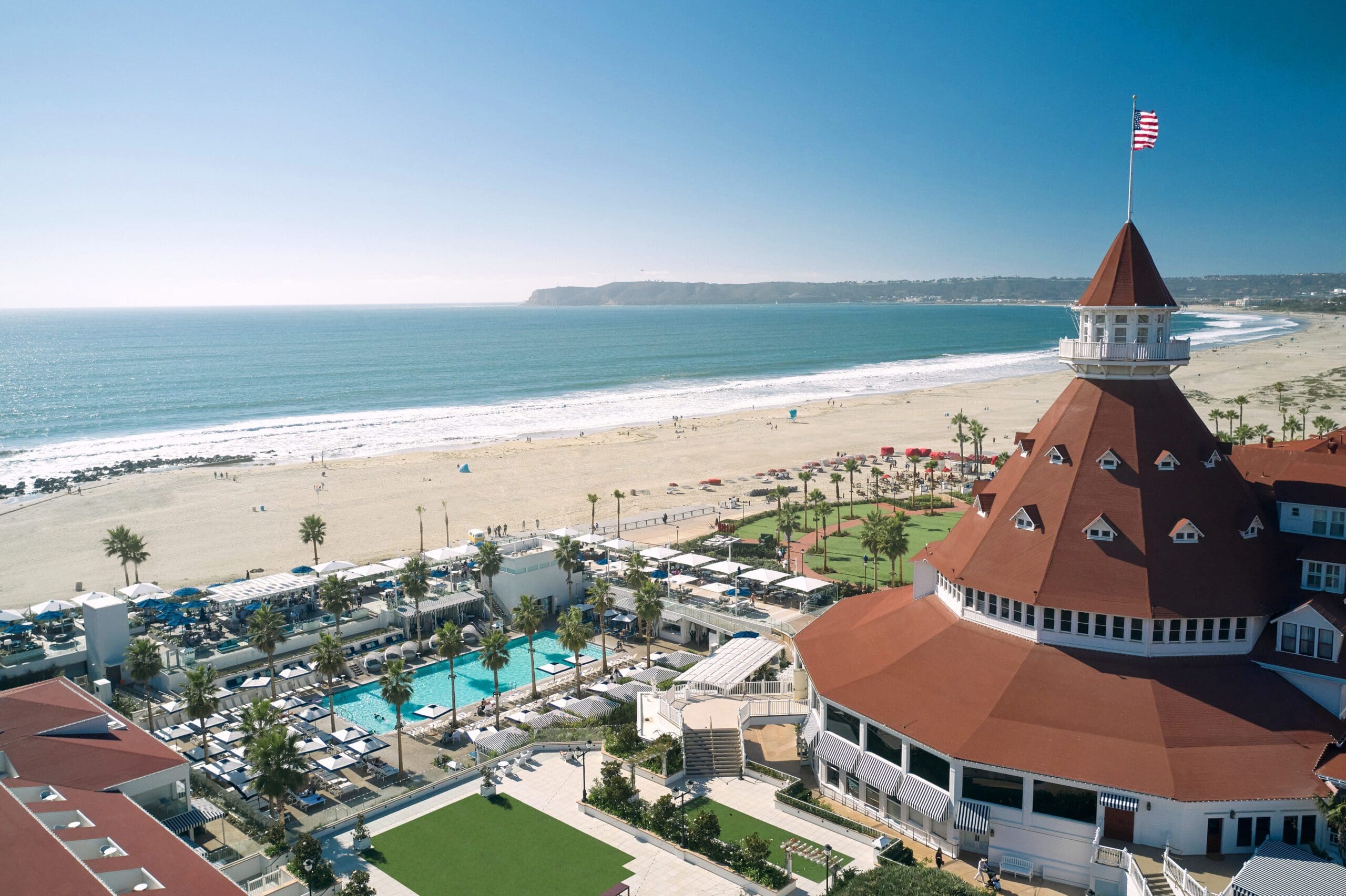
Find your stay in Pacific Coast Highway
Compare locations, guest reviews, and current availability.
Affiliate link • No additional cost to you
Overnights shape the rhythm of your drive. A classic pacing is seven nights: San Francisco, Monterey or Carmel, Big Sur, San Luis Obispo area, Santa Barbara, Santa Monica or coastal Los Angeles, and San Diego. Coastal lodging books up early for weekends and summer—secure stays well ahead and always confirm current availability, rules, and fees.
What to pack for the Pacific Coast Highway
Useful Travel Gear
Disclosure: Canyon Ray & Co. may earn a commission from qualifying purchases at no additional cost to you.



Coastal California swings between sun and marine layer, breezes and bright afternoons. Pack light layers and a few road-trip standbys:
- Insulated stainless steel water bottle (32 oz): Refill at hotel stations, trailheads, and cafes to stay hydrated without constant stops.
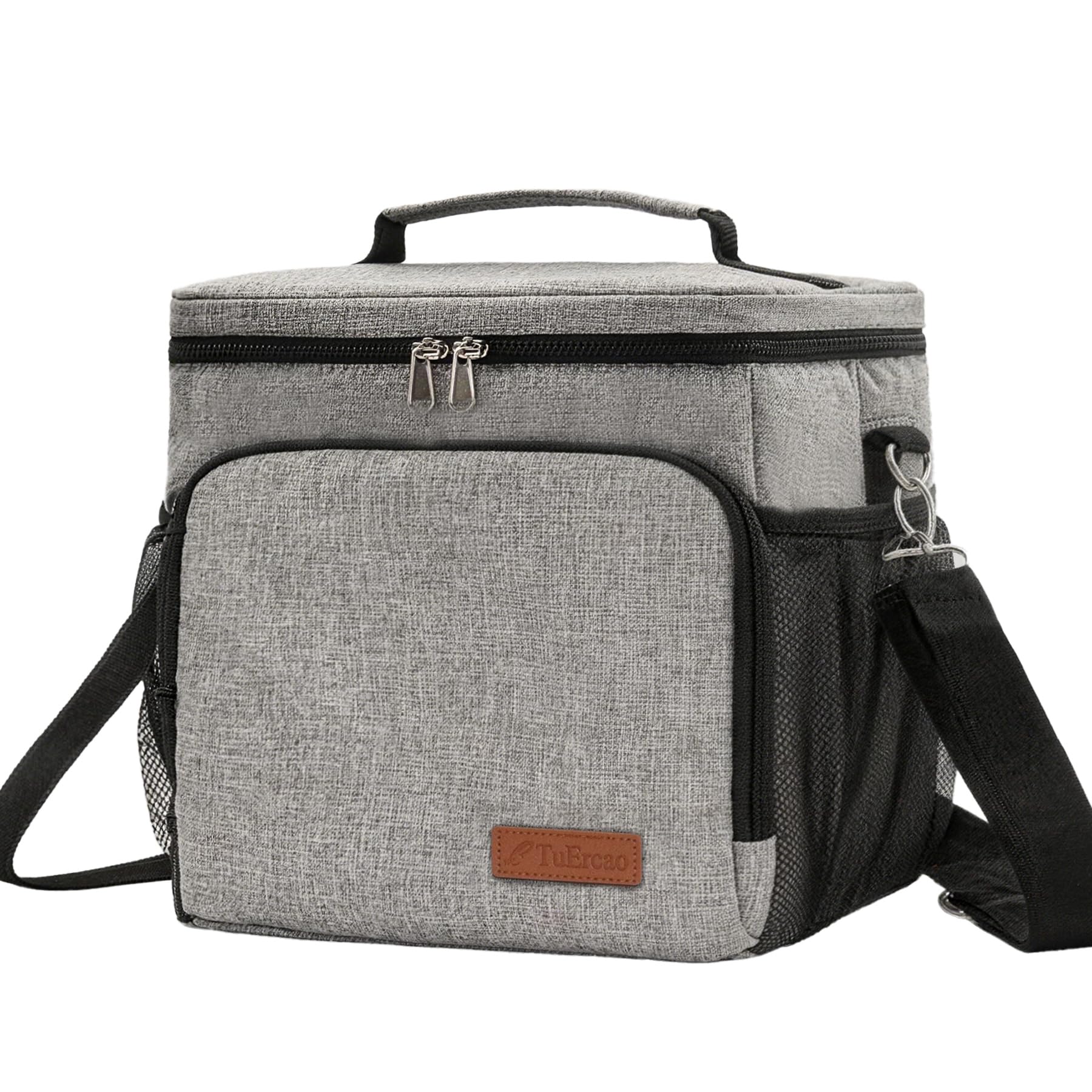
- Soft-sided cooler (24-can range): Keeps picnic salads, fruit, and beach snacks chilled; compresses when empty.
- Magnetic or vent car phone mount: Hands-free navigation on winding sections makes for safer, calmer driving.
- High-output USB-C car charger (at least 65W with multiple ports): Powers phones, action cams, and tablets between towns with limited services.
- Packable sun hat with UPF 50: Morning fog can flip to bright midday sun; protect your face during cliff and beach walks.
- Lightweight, packable windbreaker: Evening breezes and coastal fog are real—even in summer—especially on bluffs and piers.
- Polarized sunglasses (UV400): Cuts glare on water and during long, bright stretches.
- Compact microfiber towel: Handy after tidepooling, beach stops, or unexpected drizzle.
Practical itinerary: a 7-day north-to-south plan
Day 1: San Francisco
Pick up your car and shake out city legs: Lands End, Baker Beach, or the Presidio’s overlooks deliver instant coastal drama. In the afternoon, point your compass south: Ocean Beach to the Great Highway is an easy sampler, but save the main drive for morning. Overnight in San Francisco.
Day 2: San Francisco to Monterey or Carmel (120 miles)
Take Highway 1 through Pacifica and Half Moon Bay for sea cliffs and farm stands. Break in Santa Cruz for a boardwalk walk or West Cliff Drive. Aim for Monterey by afternoon: the harbor, Cannery Row’s historic facades, and the paved coastal recreation trail make strolling easy. Optional detour: Carmel-by-the-Sea’s galleries and white-sand beach. Overnight on the Monterey Peninsula.
Day 3: Monterey Peninsula immersion
Start at Point Lobos State Natural Reserve for sea otter and cypress views; arrive early to secure parking and mind protected areas. The 17-Mile Drive offers pullouts from Spanish Bay to the Lone Cypress. Sunset on Carmel Beach or the Monterey shoreline trail. Second night on the peninsula or in Carmel.
Day 4: Monterey/Carmel to Big Sur (30–60 miles, intentionally short)
Lean into a short mileage day to savor Big Sur’s pullouts. Pause at Garrapata State Park for bluff trails, then at Bixby Bridge for the classic arch shot if conditions and parking allow. Julia Pfeiffer Burns State Park’s McWay Falls overlooks are worth the timing dance—visit early or late. Services are limited; top up fuel before leaving Carmel or Big Sur village. Overnight in Big Sur.
Day 5: Big Sur to San Luis Obispo area (90–110 miles)
Continue south past redwood canyons and cliff vistas toward Ragged Point. Consider a late-morning stop in San Simeon for elephant seal viewing pullouts (seasonal action varies). Roll into Cambria for lunch and a Moonstone Beach boardwalk stroll, then continue to Morro Bay’s iconic rock or San Luis Obispo’s walkable downtown. Overnight in or near San Luis Obispo.
Day 6: San Luis Obispo to Santa Barbara (95 miles)
Coastal dunes give way to ranchland as you approach the American Riviera. In Santa Barbara, cruise Cabrillo Boulevard’s palm-lined path, browse the Funk Zone’s murals and tasting rooms, and watch sunset from Stearns Wharf or Butterfly Beach. Overnight in Santa Barbara.
Day 7: Santa Barbara to San Diego (215–240 miles with stops)
It’s a bigger push today—break it up. Malibu’s surf breaks, Santa Monica’s beach path, and Venice’s canals make fine pauses. In Orange County, detour to Laguna Beach’s tide pools or Dana Point’s headlands. Cross into San Diego County for an Oceanside harbor stroll or Carlsbad’s sea wall, then aim for La Jolla’s coastal cliffs. Finish in San Diego’s beach neighborhoods or Coronado for a final golden-hour walk. Overnight in San Diego.
How to stretch to 10 days
Add overnights in Santa Cruz, Cambria, or Malibu; slot a winery day inland from Santa Barbara; or cap with an extra night in La Jolla or Coronado for kayaking and coves.
Best time to drive the Pacific Coast Highway
Late summer into fall (September–October) often blends calmer winds, clearer skies, and warmer water temperatures in Southern California. Spring (April–May) brings wildflowers and fresh green hills. Winter can be lush and dramatic but may see storms and occasional road impacts; always verify current conditions and any closures before you go.
Getting around and practicalities
- Vehicle choice: A compact SUV or midsize car balances coastal curves with luggage space. Convertible fans love this route, but pack layers for cool mornings.
- Navigation and fuel: Cell service dips in Big Sur; download offline maps and top off fuel before long, rural stretches.
- Parking: Popular beaches use pay kiosks or apps; keep a card handy. In small pullouts, park fully off the roadway and respect posted signs.
- Parks and permits: State park lots can fill early on weekends. If you plan multiple park stops in one day, consider day-use passes where available and confirm rules and entry details for the dates of your visit.
- Safety: Coastal roads are winding; drive rested and allow overtaking lanes to clear conga lines. Watch for cyclists and frequent photo pullouts.
Common mistakes and local considerations
- Overpacking the schedule: Highway 1 favors meandering. Budget extra time for fog burn-off and pullouts you didn’t plan—but won’t want to miss.
- Skipping Big Sur turnouts: The journey is the point. Even five-minute stops reveal sea caves, otters, and wildflower bluffs.
- Underestimating the marine layer: Mornings can be chilly and gray even in July. Layers and a windbreaker keep the day pleasant.
- Assuming services are everywhere: Fuel, food, and charging are sparse through Big Sur. Plan ahead and confirm what’s open on your dates.
- Not booking early: Summer weekends and holidays fill quickly from Carmel to Santa Barbara; reserve lodging well in advance and reconfirm details.
FAQ
How many days do I need for the Pacific Coast Highway, California?
Seven days is a sweet spot that lets you enjoy San Francisco, Monterey/Carmel, Big Sur, San Luis Obispo, Santa Barbara, coastal Los Angeles, and San Diego. With 10 days you can add winery time, extra beach days, or a Cambria/Malibu overnight.
Is it better to drive north to south?
Yes for ocean views and easier pullouts—the right lane hugs the sea when driving southbound. If your flights dictate a northbound run, keep the same stops and be patient with left-turn pullouts.
Will Highway 1 be open when I go?
Highway 1 can see temporary closures, especially around Big Sur after winter storms. Check official travel and road resources close to your departure, and have a backup plan that uses inland highways if needed.
Do I need reservations for parks and attractions?
Some popular coastal sites and tours use timed entry or limited parking. If a specific stop is essential to your trip, confirm current rules, availability, and any fees before you go.
What’s the most scenic section?
Big Sur between Carmel and San Simeon is the most dramatic, but the Monterey Peninsula, Santa Barbara shoreline, and La Jolla’s cliffs each deliver a different kind of coastal magic.
Can I do this trip with kids?
Absolutely. Mix short hikes, tide pools, beach playgrounds, and aquarium or pier stops. Keep drive days shorter (Big Sur especially) and build in picnic breaks.
Ready to plan your Pacific Coast Highway, California trip?
Compare current availability, locations, guest reviews, and booking options before choosing your stay.
Browse Pacific Coast Highway, California stays on Expedia
Affiliate link • No additional cost to you
Conclusion
California’s Pacific Coast Highway rewards the unhurried traveler. With this day-by-day plan, strategic overnights, and a trunk stocked with smart road-trip essentials, you’ll trace the state’s shoreline from fog-kissed headlands to sunny southern beaches—and arrive with memories that feel as wide as the Pacific. Confirm the latest conditions and availability before you roll, then lean into the curves and discover, better.